Leak detection from satellite images
Water leakage in Western Australia accounts for more than 10 billion liters of water and costs over a billion dollars each year. The Water Corporation of Western Australia can only manually survey 10-12 percent of the pipe network each year for non-visible leaks. A solution that can detect leaks without additional on-site inspections would be valuable for water utilities around the world.
One such solution is to use satellite images to detect leaks. Satellite-derived vegetation indices can be used for the detection of water pipeline leakages in semiarid areas. Spectral signature profiles can also be used to detect leaks but the signatures can be complicated.
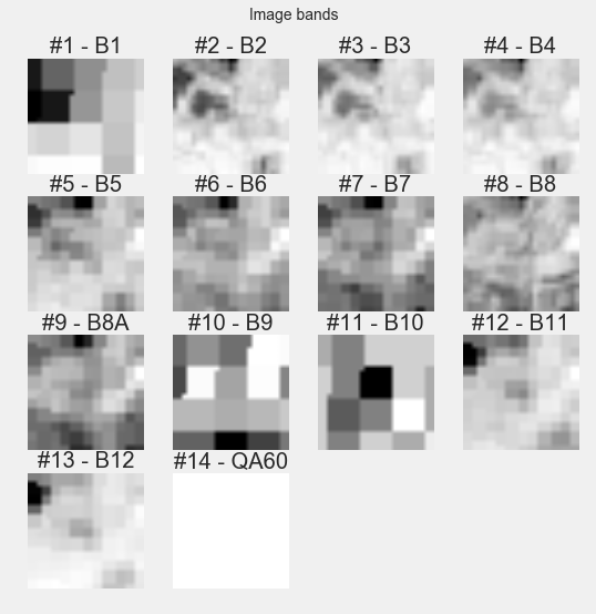
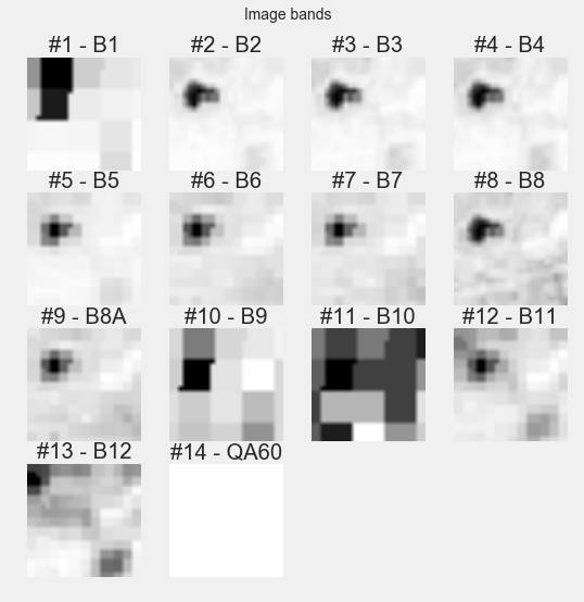
This project explores the idea that we can find leaks using satellite images and machine learning. The primary hypothesis is that given the time and place of leak repairs and given satellite images of 10-15 meters squared resolution we can predict leaks better than a baseline defined by random guessing.
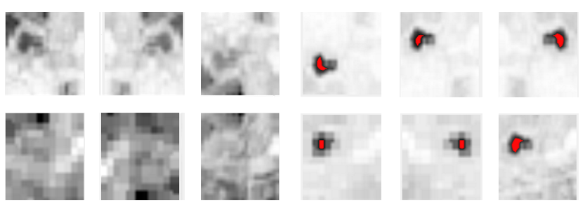
We use a random forest model then tweak the data filters and model parameters using hyper-optimization. Our results give an f1-score of around 0.6 compared to a dummy f1-score of 0.5.
This small improvement supports our hypothesis but it represents a predictive capability that is too poor to be used for pipe maintenance. We anticipate that repeating the experiment with higher resolution imagery may give useful levels of predictive capability.
The next step of this project would involve a Water Utility capturing aerial drone images before and after leak repairs. We are currently looking for a Utility that is interested in partnering with us, which would initially involve assisting us with data acquisition using drones tasked to their water repair teams.
Full code and report for this project is available at this url: https://github.com/wassname/satellite_leak_detection
Landgate’s SPUR team awarded us a grant and supported this project. Thanks also to the people at Austin Water who were helpful in releasing the Water Repair data. Thanks to Ali Jeney for her assistance.
This project was carried out under business name ThinkCDS, which is now part of Three Springs Technology. It was carried out in partnership with Craig Baldacchino.